GPS Land Surveys - Static & RTK
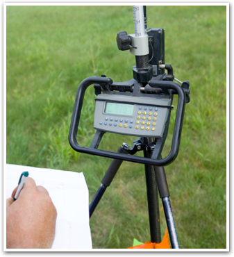
GPS land surveys utilize the latest mapping technology to improve the accuracy and speed of land surveying. Using GPS hardware and software allows us to process larger amounts of data and improves the turnaround time for these surveys. Our land surveyor use this type of land survey for land planning of small projects or regional wide mapping. The global positioning technology helps ensure precise positioning by operating through a satellite. This is helpful for any of your land surveying needs when you require extremely precise and accurate measurements. We are highly regarded among land surveying companies statewide. If you are looking for a land surveyor in Kentucky, contact Spurrier Land Surveying today for your land surveys.