Topographic Map Survey Kentucky
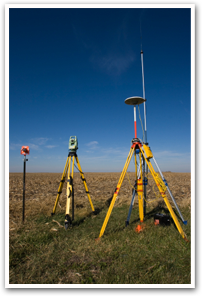
The topography of your land is simply the layout of the property and the elevation of the land. A topographic map created by land surveyors provides digital information about the land elevation and land features. This type of land survey service is typically used to for new construction homes or planned developments. It is an important part of building a new home or structure to ensure that all drainage and pipes will match up with existing utilities.
A topographical map involves identifying natural and man-made physical features including buildings, fences, drainage, driveways, as well as the features of the land. A topographic map survey produces a detailed drawing and may include a boundary survey. Our land surveyors gather elevation points and create as detailed of a topographic map as needed. At Spurrier Land Surveying, our land surveyors will take the time to work with you on your project and ensure that you get the result you are looking for. We are highly regarded among land surveying companies statewide. If you are in need of a land surveyors to create a topographic map for you, or any other survey service contact us today to get a quote on your project.